Topographical Surveys
What Is a Topographical Survey
A topographical survey is type of land survey used to map and measure the physical features of a property. It is typically used to determine the elevation and contour of the land, as well as other features such as roads, rivers, and buildings. A topographical survey is a valuable tool for planners, engineers, and developers as it provides detailed information about the area which can be used to inform decisions about development and infrastructure.


Why Do I Need a Topographical Survey
Topographical surveys are essential for any construction project as they provide accurate information about the layout of a property. Topographical surveys are used to measure the physical layout of land and map its features, such as buildings, elevations, roads, and bodies of water. This data helps architects, engineers, and contractors to design and build a project in a safe, efficient manner. Topographical surveys can also help to identify potential risks and hazards for a project, such as flooding or unstable terrain. Having accurate topographical data can help to ensure that a project is completed with minimal disruption and cost.
Topographical Survey Process
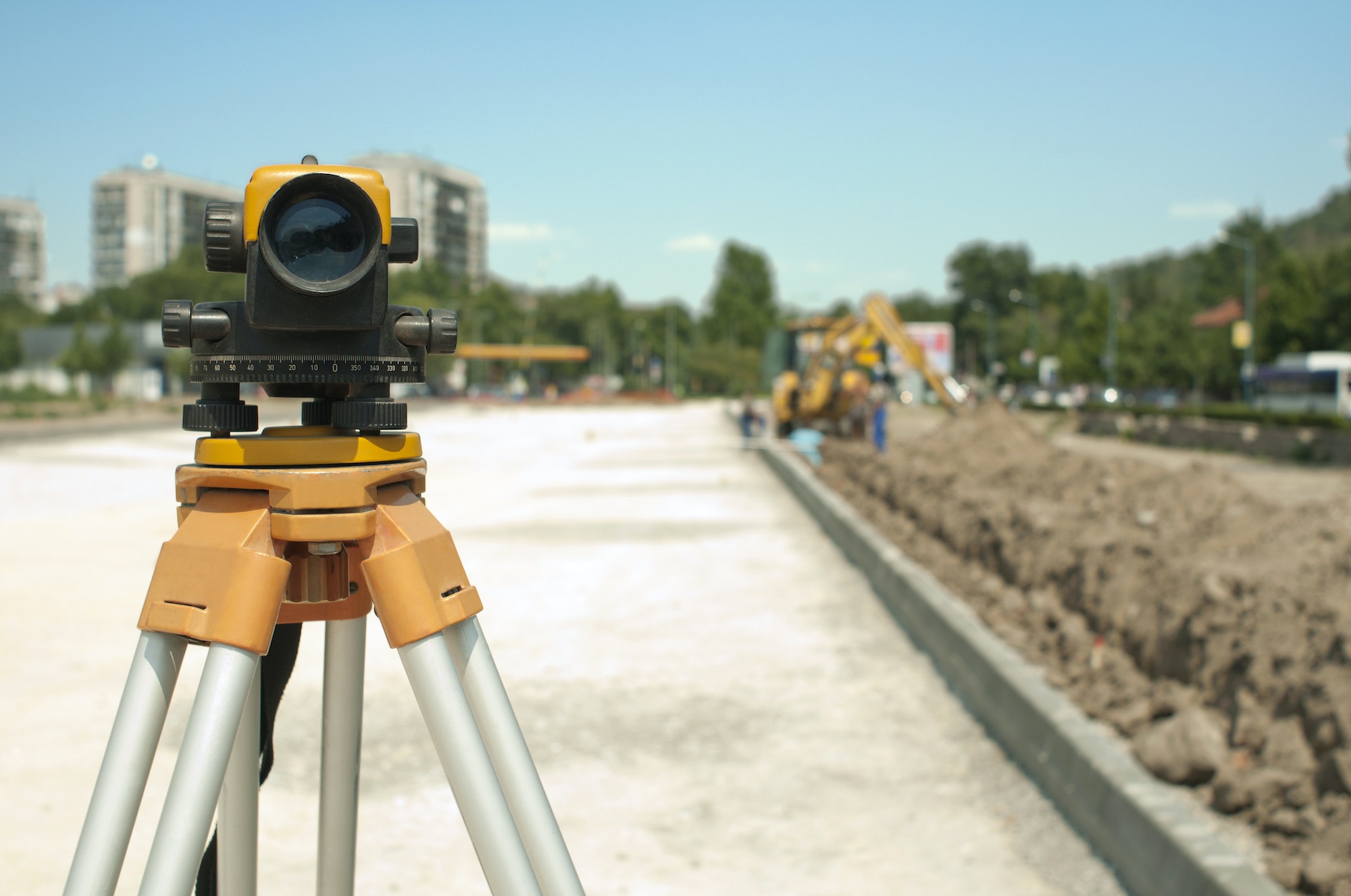
Topographical surveys are conducted by taking precise measurements of the elevation, features, and structures location on a property. This is usually done using specialized surveying equipment such as total stations, GPS receivers, and laser scanners. The survey data is then used to create a digital or paper map showing the topographic features of the area.

FAQ
How long a topographical survey will take to complete depends on a variety of factors, including the size of the land, the terrain, structures on the property, etc. For an estimated timeframe for your topographical survey, contact GT Surveyors.
The cost of a topographical survey is also influenced by property size, features, and more. Get in touch with us at GT Surveyors for a quote on your topographical survey.
Topographical surveys may be required depending on the reason they’re needed, but they are always recommended for every landowner to protect themselves from potential legal issues or property disputes.
Topographical surveys can only be conducted by licensed, professional land surveyors like GT Surveyors.
Contact Us
Get in touch with us today by contacting us directly or filling out the form.
- (561) 753-0353
- gtsurveying@gmail.com
- 1660 Southern Blvd. Unit K, West Palm Beach, FL, 33406

