Sketch & Descriptions
What Is a Sketch & Description
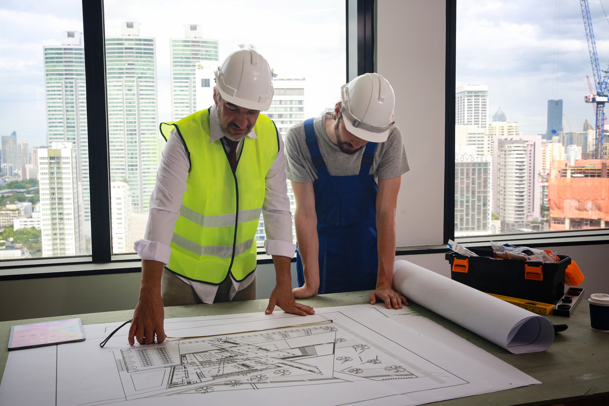
In relation to land surveys, sketches and descriptions refer to the map created by the surveyor that outlines the results of the survey both visually and with detailed notes about the property and its features. These sketches and descriptions show the boundaries of the property, any topographical features, and any man-made structures that exist on the land. They also feature detailed descriptions of the land and its features along with the visual sketch to better explain what each feature is and how it affects the property.


Why Do I Need a Sketches & Descriptions
Sketches and descriptions are always a part of any land survey. They are the documentation of the results of the survey and are legally recognized as the deciding factor in a land dispute or other legal issue involving the property. They also act as a guide for any construction projects on the property, which can prevent costly setbacks or dangerous errors from building on a section of land that is unsuitable for construction or crossing over a property boundary.
Sketch & Description Process
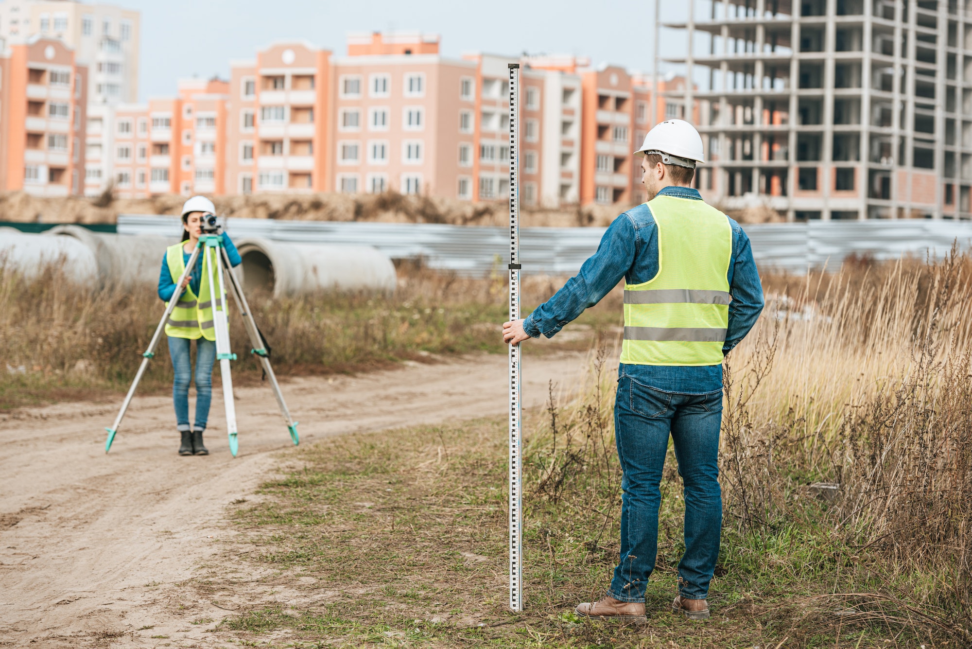
The first draft of the sketch is done during the survey as the surveyor defines the property boundaries and details the features. Once the survey is completed, the surveyor will create a final draft of the map with all of their findings included. Details and descriptions about each feature of the property are then added to properly inform the property owner and anyone else it may concern of the precise layout and topographical makeup of the land.

FAQ
The amount of time it will take to create the initial sketch, complete the finished map, and complete the descriptions of the property features depends on several factors. The size of the land, number of documentable features, and more play a role in how it takes to complete the final map that the property owner will receive.
The cost of the sketches and descriptions will be factored into the total cost of the survey. Contact GT Surveyors for a quote on the survey you need, and the cost of the sketches and descriptions will be included in your quote.
Sketches and descriptions are essential to any survey, as the results of the survey mean nothing without the final documentation that details the property boundaries and features. The map you receive at the end of your survey will be what is used to settle property disputes, solve other legal issues, and provide a guide for potential construction projects.
Sketches and descriptions can only be drawn up by the licensed surveyor who conducted the property survey, as the initial sketch will be created during the survey and then used to help create the final draft of the land map.
Contact Us
Get in touch with us today by contacting us directly or filling out the form.
- (561) 753-0353
- gtsurveying@gmail.com
- 1660 Southern Blvd. Unit K, West Palm Beach, FL, 33406

